
Polytec Software Simplifies Complex Topographic Measurements
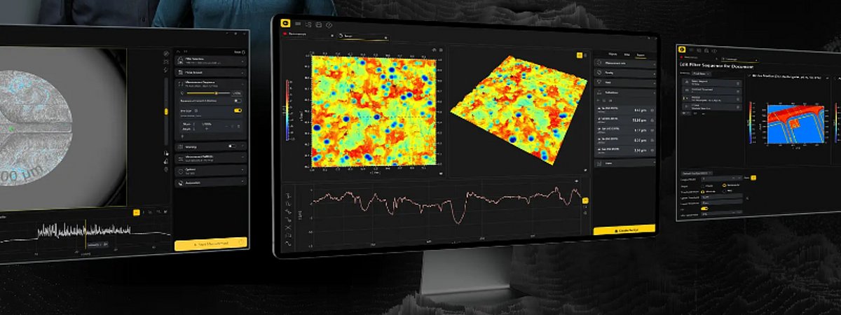
With TopMap Sherpa, Polytec is introducing a new generation of software for its topographic measurement systems. The software combines adaptive user guidance with intelligent automation features, thereby simplifying complex measurement tasks and recurring inspection procedures.
TopMap Sherpa guides users through the entire measurement process. The user interface adapts to the current step and displays only the functions that are needed at that moment. According to the manufacturer, features such as Click-to-position, Focus Finder, and Auto-Level simplify the positioning, focusing, and alignment of the sample. “Many of our customers want to quickly obtain reliable measurement results without having to sacrifice powerful features,” says Sebastian Nägele, product manager at Polytec. “TopMap Sherpa makes it easy to get started, provides guidance for complex measurement tasks, and at the same time gives experienced users full control over the measurement process.”
Reliable Measurement of Challenging Surfaces
For samples with varying reflectance properties, TopMap Sherpa combines Smart Scanning Technology with HDR measurements. The software automatically adjusts exposure times based on real measurement data, making it easier to reliably capture challenging surfaces and material combinations. Predefined filter settings simplify standardized measurements, while live filtering makes changes immediately visible in the measurement data. Measurement recipes allow you to save and reuse settings for sample positioning, measurement, and evaluation. Tray Measurements and Pattern Matching automate the inspection of multiple similar parts and reduce manual effort, particularly in quality assurance.
Contact details and information on the companies and institutions presented here can be found in our interactive surface technology industry directory.